
Mount Hayes (via Mahoosuc Trail)
Description
Mount Hayes can be accessed from either Power Island in Gorham, or from Hogan Rd. in Shelburne. From the Shelburne side, the hike to Mount Hayes is primarily along the Appalachian Trail (say “hello!” to all the thru-hikers in the summertime!) and is considered a challenging 6.6 mile out-and-back. Mount Hayes is the westernmost peak in the Mahoosuc Range, and from the summit you’re rewarded with a birds-eye view of Gorham, the Androscoggin River, the northern sections of the Presidential Range, and the Carter Range. Be aware that this trail is well travelled in peak hiking season, so alternate parking and approaches should be considered.


Location & Parking
Address
420 Main St, Gorham, NH 03581
Latitude
44.4024395815474
Longitude
-71.1991736491646
Parking Details
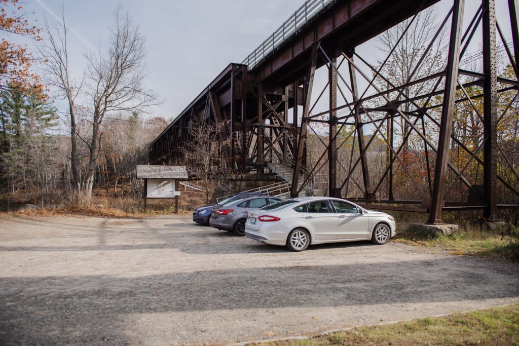
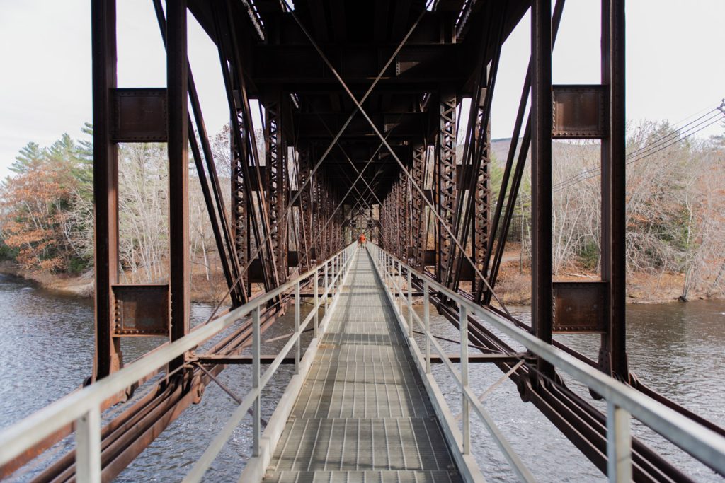
Appalachian/Mahoosuc Trail Access: Limited parking (5-7 cars). Rt. 16 at the base of the trestle bridge.
420 Main St, Gorham, NH 03581
Managing Organization
Managing Organization
Appalachian Mountain Club (AMC), U.S. Forest Service - White Mountain National Forest
Website (URL)
Additional Info. (URL)
Tags
Details
Seasons
Spring, Summer, Winter, Fall
Pet Friendly
Yes
Restroom
none